
Cose da fare a Tamsweg
Attività, attrazioni e tour
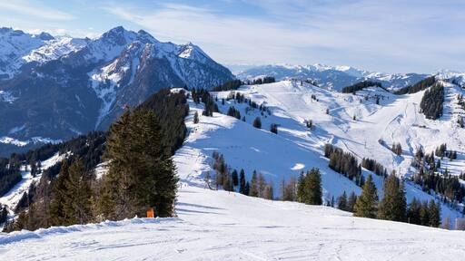
Tamsweg da scoprire


 Scopri le attivitàScopri migliaia di esperienze, da attività e attrazioni a tour giornalieri e trasferimenti.
 Prenota con facilitàSalta la fila: prenota online in pochi minuti i biglietti per le principali attrazioni con cancellazione gratuita per molte attività.
 Concediti un viaggio specialeGli iscritti risparmiano un % o più sulle prenotazioni di attività.
Soggiorna vicino alle attrazioni popolari di Tamsweg


Scopri un mondo di viaggi con Expedia
- Thomatal: hotel
- Mariapfarr: hotel
- Fanning: hotel
- Unternberg: hotel
- Sankt Michael im Lungau: hotel
- Mauterndorf: hotel
- St. Andrä im Lungau: hotel
- Sankt Margarethen im Lungau: hotel
- Tamsweg: hotel
- Göriach: hotel
- Centro Benessere Vital- und Wellnesscenter Samsunn: hotel nelle vicinanze
- Sankt Michael im Lungau: Hotel per golfisti
- Tamsweg: Appartamenti
- Tamsweg: Chalet
- St. Andrä im Lungau: Baite
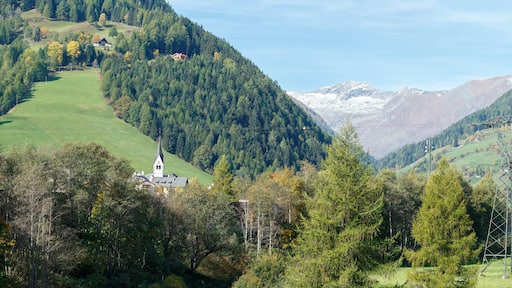
- Visita Mariapfarr
- Visita Göriach
- Visita Tamsweg
- Visita Tamsweg
- Visita Sankt Margarethen im Lungau
- Visita Fanning
- Visita Ramingstein
- Visita Sankt Michael im Lungau
- Visita Mauterndorf
- Visita Lessach
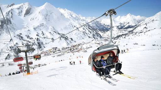
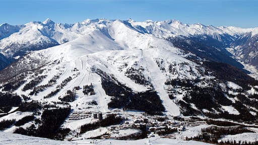
- Funivia Großeck
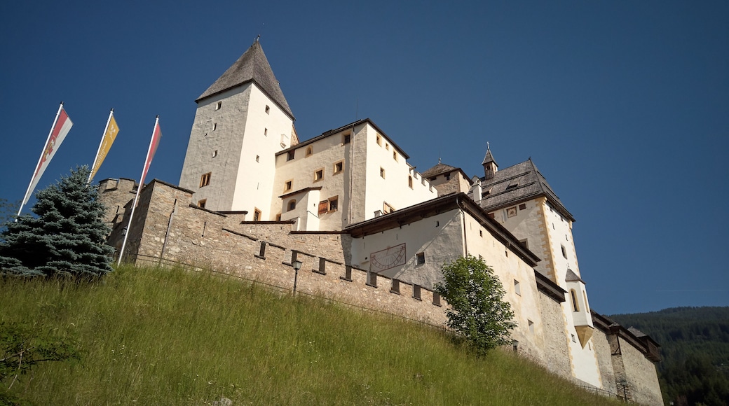
- Castello di Moosham
- Vacanze a Mariapfarr
- Centro Benessere Vital- und Wellnesscenter Samsunn
- Golf Club Lungau
- Miniera d'Argento di Ramingstein
- Vacanze a Tamsweg
- Stille-Nacht-Museum

