Cose da fare ad Alton
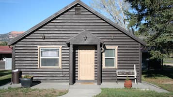
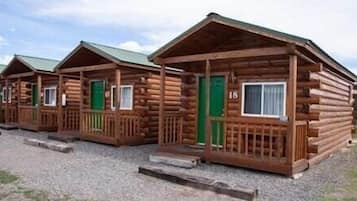
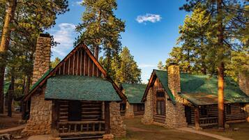
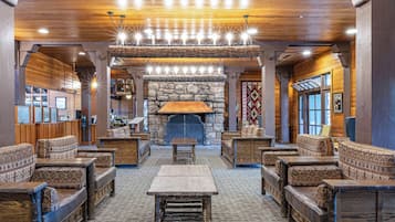
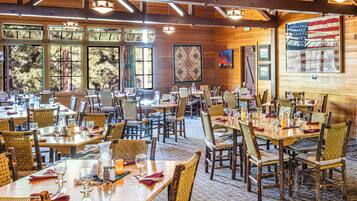
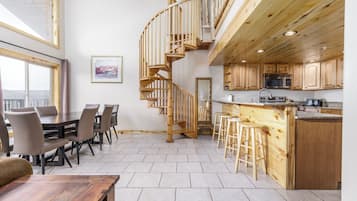
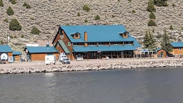
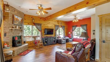
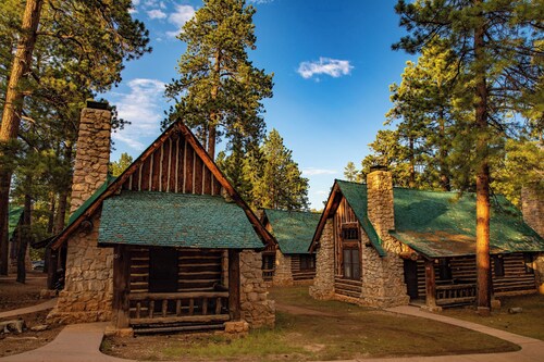
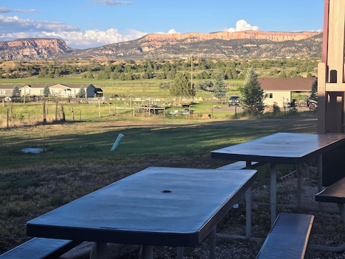
Alton, Utah, offre una deliziosa fuga per gli amanti della vita all'aria aperta, con avventure emozionanti e paesaggi mozzafiato. I visitatori possono praticare attività come sciare nei comprensori sciistici locali, esplorare aree ricreative e intraprendere gite turistiche. Con attrazioni locali come i golf resort e varie opzioni di campeggio, Alton è perfetta per chi cerca sia relax che avventura in un ambiente pittoresco.
Shopping
L'esperienza di shopping più vicina è nei mercati locali, dove è possibile trovare oggetti d'artigianato e souvenir unici. Se siete disposti a guidare, visitate il Cedar City Town Center, a circa 48,3 km di distanza, che offre una varietà di negozi, inclusi rivenditori di moda e boutique di articoli da regalo.
Ricreazione
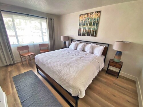
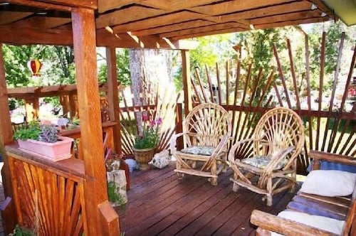
Alton Wellness Retreat offre un ambiente tranquillo e terapie olistiche, perfette per il relax e il ringiovanimento. Godetevi sessioni di yoga, meditazione e trattamenti spa in mezzo a paesaggi naturali mozzafiato. Per il divertimento all'aria aperta, esplorate i sentieri escursionistici vicini, i luoghi di pesca e i panorami mozzafiato, assicurando un mix appagante di benessere e avventura.
Avventura
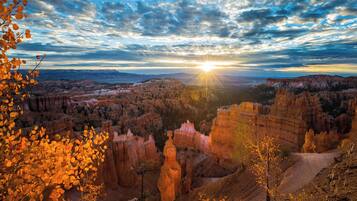
Esplorate i paesaggi mozzafiato dello Zion National Park, dove sentieri escursionistici come l'Angels Landing offrono panorami mozzafiato e altezze emozionanti. Per un'esperienza unica, provate il canyoning nei canyon a fessura, navigando attraverso passaggi stretti e formazioni rocciose vibranti che vi lasceranno a bocca aperta.
Vita notturna
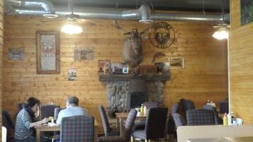
Ad Alton, la scena dei pub locali offre un'atmosfera affascinante con musica dal vivo e battute amichevoli. Le città vicine offrono bar e ristoranti caratteristici, perfetti per una serata rilassata. Non perdetevi gli occasionali eventi all'aperto che mostrano il talento locale sotto le stelle.
*Le distanze sono misurate in linea retta; le distanze di guida effettive possono variare a seconda del percorso.